Global Positioning System (GPS)

Introduction
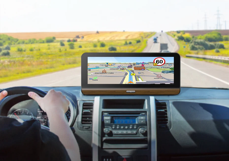
GPS is incorporated in many of our daily objects and serve many purposes in our daily navigation. Drivers use GPS when navigating streets, pedestrians use GPS on mobile devices to navigate walking paths, and GPS devices are being used to monitor human and animal movement. In addition, many recreational uses, such as hiking, use GPS to track locations.
GPS is defined as “A system of radio-emitting and -receiving satellites used for determining positions on the earth. The orbiting satellites transmit signals that allow a GPS receiver anywhere on earth to calculate its own location through trilateration. Developed and operated by the U.S. Department of Defense, the system is used in navigation, mapping, surveying, and other applications in which precise positioning is necessary.” (ESRI, GIS Dictionary, GPS)

Background on GPS
For GPS units to properly locate your position, this requires the three components: space segment, control section and user segment to work in sync with one another. It is important for the user to be moving to properly identify locations.
Space Segment: GPS satellites (a minimum of 24 in constellation) send signals to earth with satellite position information, including time the signal is received.
Control Segment: There are ground stations on the earth that are receiving the information from the GPS satellites, and sending data to the GPS satellite to correct position and relay information.
User Segment: User holding a GPS unit using the data from the satellite to locate position on Earth.
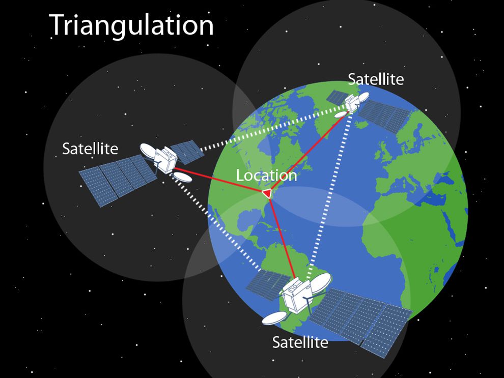
Trilateration: This is the process of using three points of reference to determine location.
3D trilateration: This is the process of determining location based on three satellites.

GPS and Accuracy
Multiple factors can play a role in the accurate determination of the GPS location seen by the user using a handheld device, and/or other GPS devices. Some brief factors related to GPS accuracy are listed below.
Atmosphere effects: The ionsphere and troposphere can impact the GPS signals by delaying the signal.
Multipath effect: This is the reflection of the GPS signal off other surfaces, such as buildings, before reaching the GPS receiver.
Differential GPS: Corrects the GPS position determination by using a series of base stations. Differential GPS is used to overcome GPS errors.

Wide Area Augmentation System (WAAS):Additional augmentation is possible from satellites to improve accuracy, an example of a satellite based augmentation system (SBAS) is the Wide Area Augmentation System (WAAS).From Garmin, “A WAAS-capable receiver can give you a position accuracy of better than 3 m, 95 percent of the time.”
GNSS:refers to the satellite position system with global coverage, which is used to improve GPS accuracy. Examples of GNSS include the USA’s NAVSTAR, and Russia’s GLONASS.
GPS systems from other countries:
NAVIC – India
Galileo – European Union
GLONASS – Russia (GNSS)
Bei-Dou – China
GPS systems from other countries:
NAVIC – India
Galileo – European Union
GLONASS – Russia (GNSS)
Bei-Dou – China

GPS Unit Characteristics
Three general classes of GPS units
Navigation/Recreational grade: These are GPS units used in vehicles and for recreational purposes, which can range in accuracy from 5 to 15 meters. Typically, these range in cost from $200-$500.
Mapping grade: These include a range of positional accuracy; however, with WAAS enabled this can improve to under 3 meters. Accuracy improves with the use of differential correction and the use of higher quality antennas. These can range from $500 to thousands of dollars. Additional features may be present to identify different map features from the GPS unit, use a stylus for GPS unit navigation, and additional accessories to increase functionality. With the use of differential GPS, accuracy can increase to be less a meter.
Survey grade: These include GPS receivers which can receive accuracy levels in the 1 meter range or better in terms of less than a foot, centimeter, and millimeter. Based on the USGS Global Positioning Application and Practice site, for a GPS receiver to be consideredsurvey grade, the receiver must record the full range of signal strengths and frequencies (dual-frequencies), and simultaneously track eight satellites.

留言
張貼留言